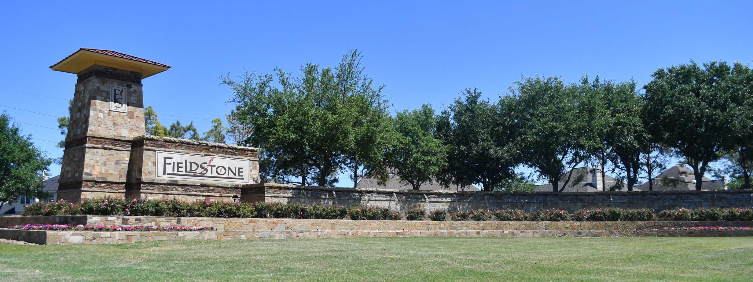
The District contains approximately 384.7 acres of land and is located in Fort Bend County.
History
The District is a municipal utility district created by an order of the TCEQ dated July 28, 2005, after a hearing on a petition for creation submitted by the Developer. The District contains approximately 385 acres of land. The District is located approximately 25 miles southwest of the central downtown business district of the City of Houston and lies wholly within the extraterritorial jurisdiction of the City of Houston. The District is within the boundaries of the Fort Bend Independent School District. The District is located north of the intersection of West Bellfort Street and Mason Road, approximately one-half mile northeast of the Grand Parkway (Texas State Highway 99). The rights, powers, privileges, authority and functions of the District are established by the general laws of the State of Texas pertaining to utility districts, particularly Article XVI, Section 59 of the Texas Constitution, and Chapters 49 and 54 of the Texas Water Code, as amended.
